The Three Passes (1)
Thursday February 7th

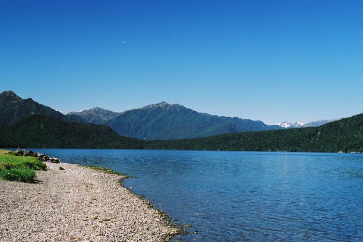
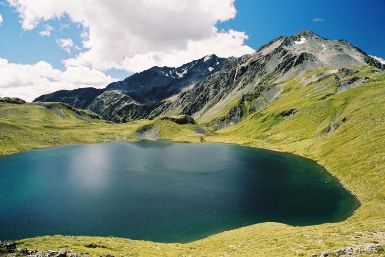
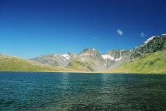
Lake Kaniere

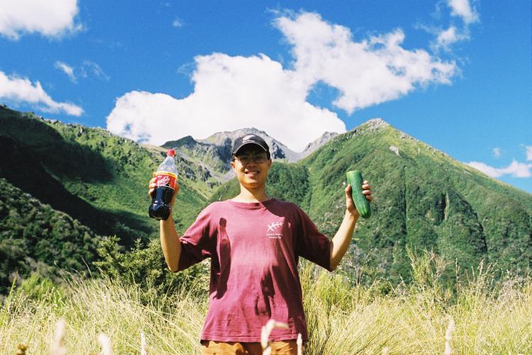
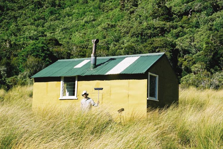
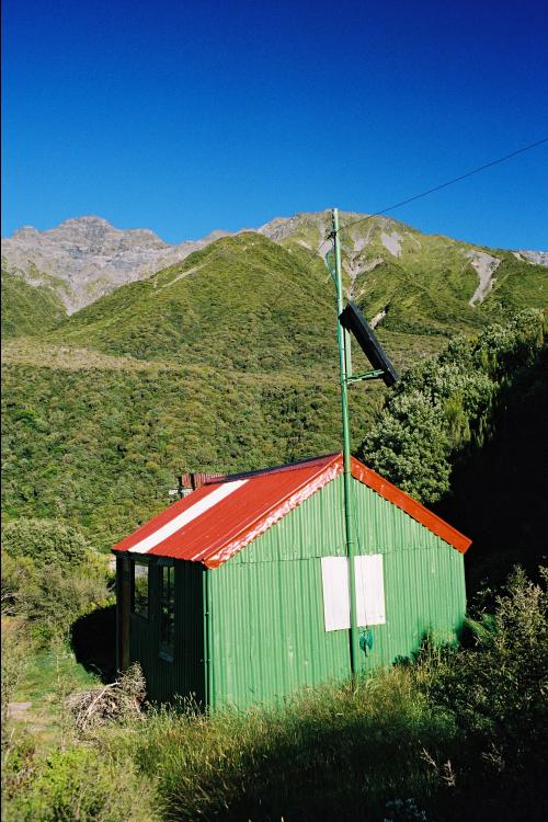
Joe at Grassy Flat
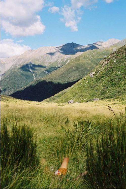
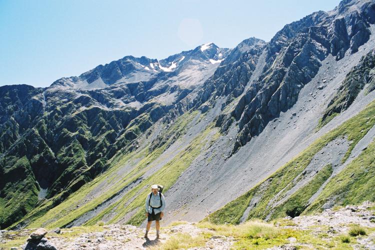
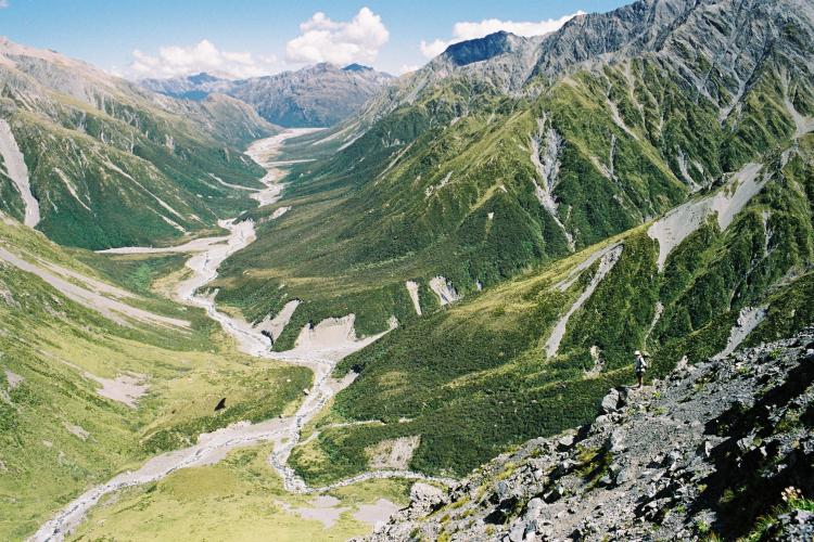
Arahura River Valley
|
Most people do the Three Passes east to west, but that leaves one with a
difficult hitch or a long walk on the road at the end. So with Adrienne
happy to deliver us to either end, we decided to do it west to east -
though this also changes the walk from a 700m net descent to a 700m
net ascent.
We drove down to Hokitika, registered our intention to do the walk at
the DOC office (I bought hut tickets; Joe had an annual pass), left the
equipment we wouldn't need at a hostel, and had a leisurely breakfast
in a cafe/bakery. After a drive around peaceful Lake Kaniere, Adrienne
dropped us off at the start of the track up the river Styx around 11am.
(She then went back to Christchurch via Lewis Pass and Hanmer Springs.)
It was an easy walk up the northern bank of the river, on a decent track
(damaged in a few places by landslides), and we reached Grassy Flat hut
for lunch, where we met a solo tramper going the other way. On the way we
saw a kereru (a kind of pigeon). Then came the climb up to Styx saddle,
which gave us nice views down into the Arahura valley and across to the
mountains on the other side. The track then sidled up the valley under
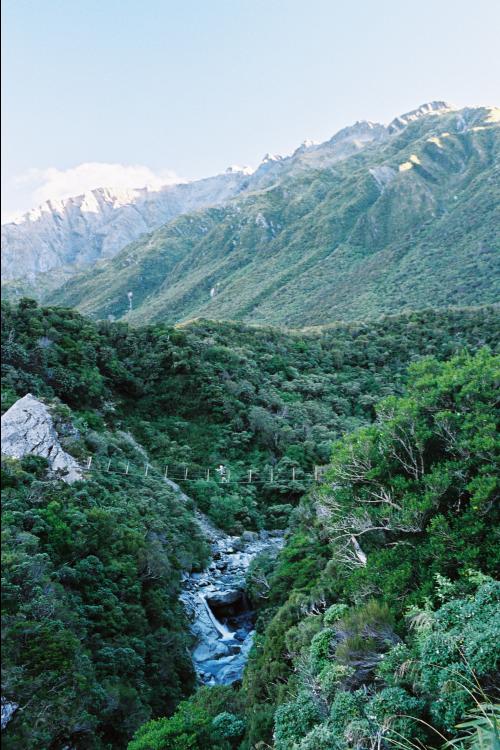
Mt Browning, crossing the Harman River by suspension bridge to reach
Harman hut, which we reached quite late. It was a reasonably long day
(perhaps 18km with a net climb of 800m) and I was pleased that I'd
managed to keep up with Joe - though that was helped by the fact that
he was carrying twice as much as I was and stopped to take photos!
Harman hut (my first New Zealand hut) was a kind of basic model category
3 hut, just six bunk beds, a fireplace, and a cooking table. It was
clear and cold overnight. I went outside with my totally ineffective
torch and still didn't realise the batteries were dying.
Friday February 8th
|
| 
Arahura valley beneath Mt Axis
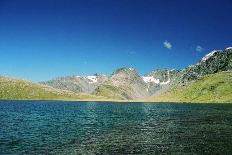
Lake Browning
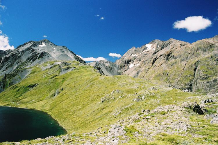
Browning Pass
|
The next day was a relatively easy one. After a late start (perhaps
around 10, but neither of us was carrying a watch), we continued up
the Arahura, where met a group of seven going the other way and found
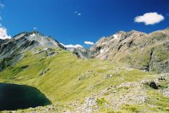
a dead goat on the track. It was a bit of a climb up to Lake Browning
(at almost 1400m), where we had lunch and Joe went for a swim. This is
a really gorgeous spot.
We took different routes on the easy slope up to Browning Pass, and
I got confused about the route down the other side (which drops 400m
in maybe three quarters of a kilometre) and went 30 metres down a hairy
goat track before realising I wasn't going the right way. The real track
was a bit of a scramble at the top, then switchbacked across scree and
grass - Joe took a short-cut straight down one of the scree slopes.
At the bottom is the Clough memorial cairn, and from there it was an
easy kilometre and a half down the Wilberforce river to Park Morpeth hut.
There we met a couple going the other way, planning to bivouac at the
lake, and Deb, who stayed there with us. Park Morpeth hut (maintained by
a club rather than DOC) was in many ways less sophisticated than Harman
hut - it had no mattresses on the bunks, for example, just hessian -
but it had a solar-powered light and mountain radio. Both of these
provided entertainment. The swarming sandflies were attracted at night
to the light, where Joe killed them in their hundreds by squashing them
with a plastic bag. And Deb, being a DOC employee, used the DOC channel
on the radio to chat to friends.