Kauaeranga Kauri Trail:
the Pinnacles and Pinnacles Hut
Sunday 13th February
I dropped Camilla off at the conference venue, then came back into
town to book accommodation for the rest of the week -- a slightly more
salubrious caravan at The Cat's Pyjamas backpackers.
Heading south via Tairua, I reached Thames around 11. I had breakfast
and coffee there and booked the Pinnacles hut for the night, then drove
up the Kauaeranga valley and was walking by noon.
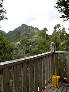
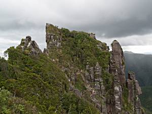
the Pinnacles from the hut |
It was warm, but intermittent clouds provided shade as I walked up the
Billy Goat track (the longer route), passing restored sections of tramway,
to the Hydrocamp.
I passed lots of people going the other way, but when I reached the
hut at 4pm I discovered that I had the whole hut - a veritable palace,
with bunks for 80 and even a shower - to myself. The caretaker Charles
pointed me at the best bunk, in the corner with windows on two sides,
and told me there had been 71 people in the hut the previous night!
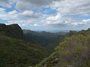
I left some of my gear and went on to climb the Pinnacles. It was cloudy
with intermittent rain and patches of bright sun.
On my way down I passed a last daytripper heading up - he'd left it a
bit late and was going to be walking into dusk on the way back.
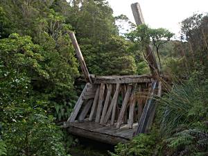
Back at the hut at 6pm, I had a shower and went to look at Dancing Creek
Dam, an almost fully restored example of one of the dams used to create
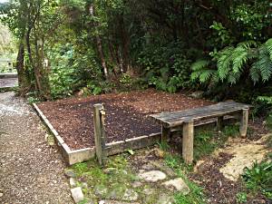
mini flash floods to move kauri logs downstream. Next to that is a
lovely little camp site, with bark-chip tent spots and even a water tap!
I sat and listened to birds and went for a wander after dark: I saw
no glowworms, but heard some kind of frog. (There's apparently a rare
nocturnal frog in the area.)
Monday 14th February
I got up at 6.30am, took some more photos of Dancing Creek Dam, helped
Charles move a generator from his hut to the main hut, and had coffee and
toast with him. He works 8 days on 6 days off and today was changeover
day, so he was tidying up.
I got away by 9.15. Heading back via Webb Creek, I passed
daywalkers on the way in and
reached the car just after noon.
I bought the Thames and Whitianga 1:50000 topographic maps, but the Kauaeranga Kauri Trail pamphlet,
available from the Info centre in Thames or the Kauaeranga Valley DOC
for $1, has notes and an outline map good enough to do the walk from.
In Thames I had the photos I'd taken so far put onto CD, ate lunch, and
bought a mouldy Ngaio Marsh detective novel from a secondhand bookshop.
Following Charles' advice, I took the other route to Whitianga, stopping
at Rapanura water gardens on the way. This is a nice peaceful garden,
though not perhaps worth the $10 charge for most people.
I got back to the conference venue in time for the last talk of the day,
on the basal phylogeny of the angiosperms.
Next: Hot Water Beach + Cathedral Cove
Previous: the 309 Road: Castle Rock, Kauri grove, Whitianga
Up: Coromandel, Tongariro, Waikato, Auckland

