In Britain the term "cycle street" is not well known and there seem to be few implementations. I am talking about what the Dutch call a fietsstraat, the French a vélorue and the Germans a Fahrradstraße; a "bicycle boulevarde" in the United States.
Here is the clearest explanation I can find, translated from Guide des Aménagements Cyclables:
A cycle street is a street that accommodates transit bicycle traffic and only local motorized traffic. In some countries, a cycle street is defined by regulations and may, for example, prohibit overtaking (Belgium), or authorize several people to ride abreast (Germany). In the Netherlands, it has no regulatory basis, but is the subject of specific recommendations:
- cycles must be able to take over the carriageway: this is the case regardless of the volume of cycles as soon as motorized traffic is less than 500 vehicles per day. Ideally, cycle traffic is at least twice as high as motorized traffic, with a limit for the latter set at 2,000 vehicles per day.
- the cycle street has priority at intersections over cross streets.
- the roadway has the same surface as cycle paths (red asphalt in the Netherlands).
So, a cycle street is a low traffic, low speed street with a lot of cycling on it, optimised for cycling priority, comfort, speed, wayfinding, etc. It needs to be designed to either prohibit (Germany and Belgium) or deter motor vehicles from overtaking people cycling.
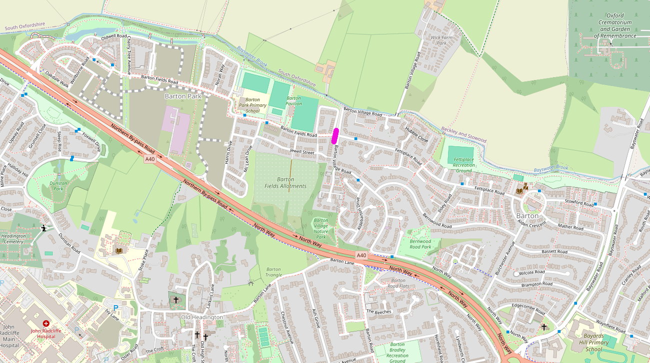
To be useful I think a cycle street needs to be of reasonable length, to allow people cycling to relax for a significant amount of time. Adding just 100 metres of differentiated "cycle street" to a route may add more complication (and thus cognitive burden) than leaving it as an ordinary low traffic street. So for Oxford I only consider routes at least half a kilometre long.

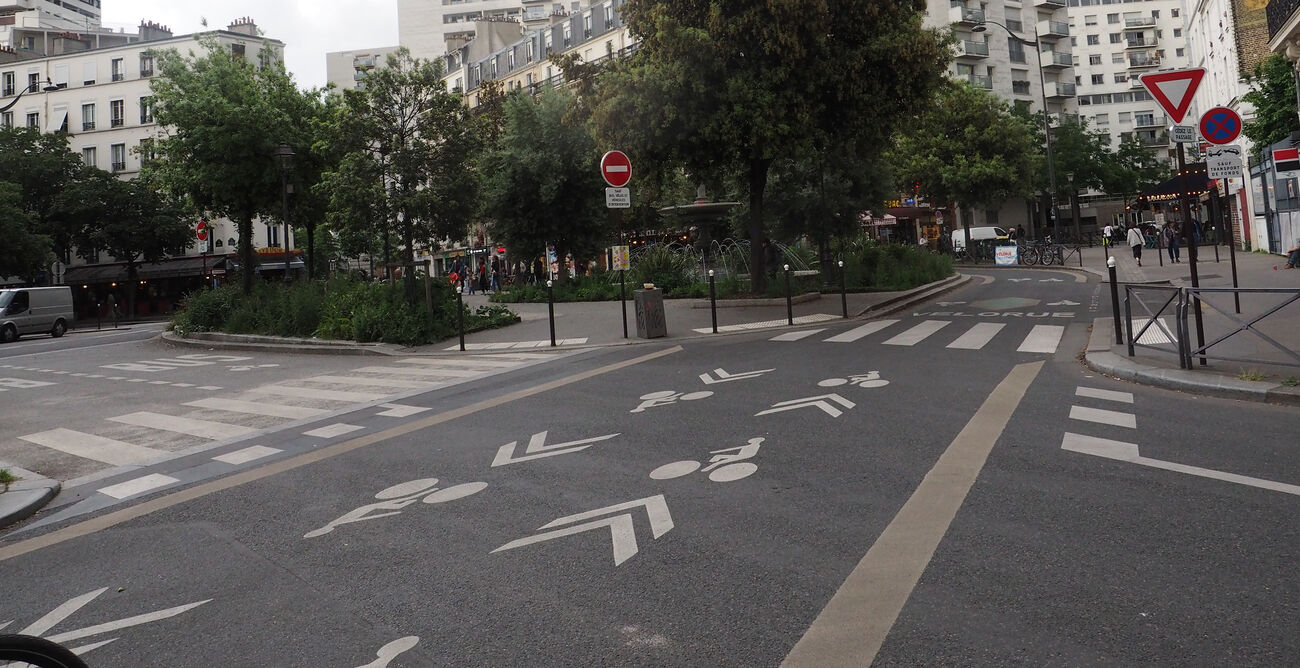
Rue de Charenton, Paris - vélorue
(more…)